3D Visualisation
Geovisualisation is not limited to 2-dimensional maps but increasingly involves 3-dimensional visualizations thanks to advances in photogrammetry, Lidar and other such technologies. As a part of my studies, i have been introduced to various software for creating and processing 3D elements both of natural and man-made features. Here are some outputs.
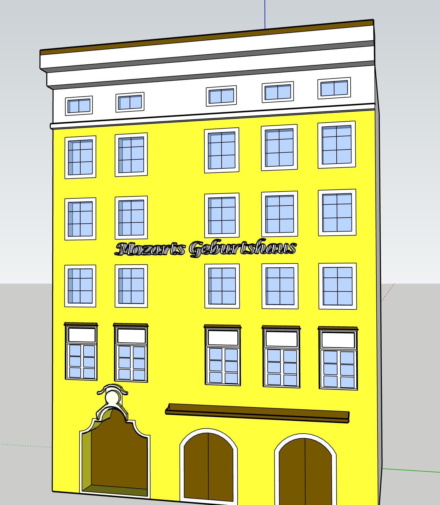
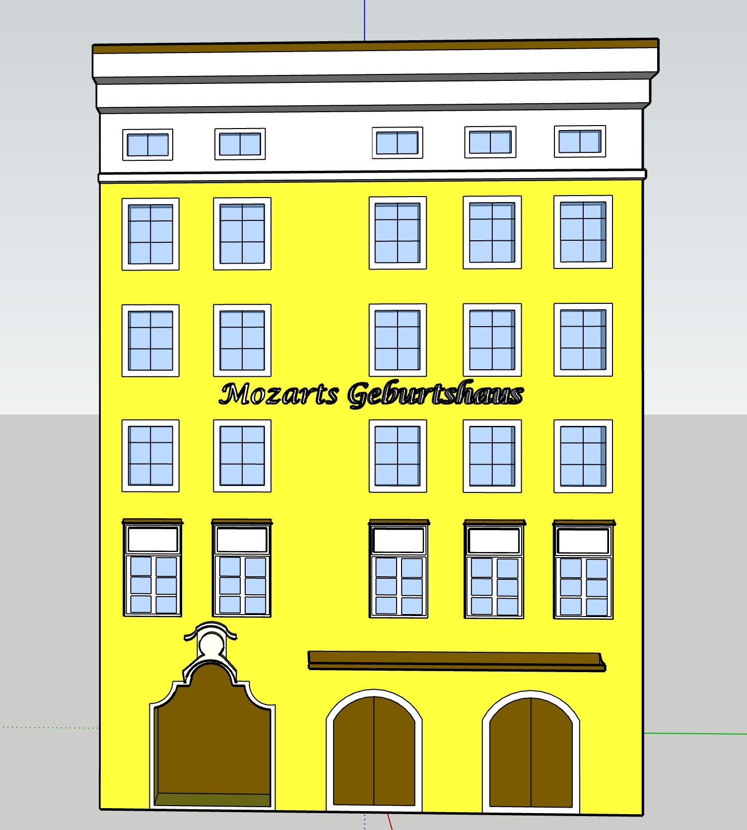
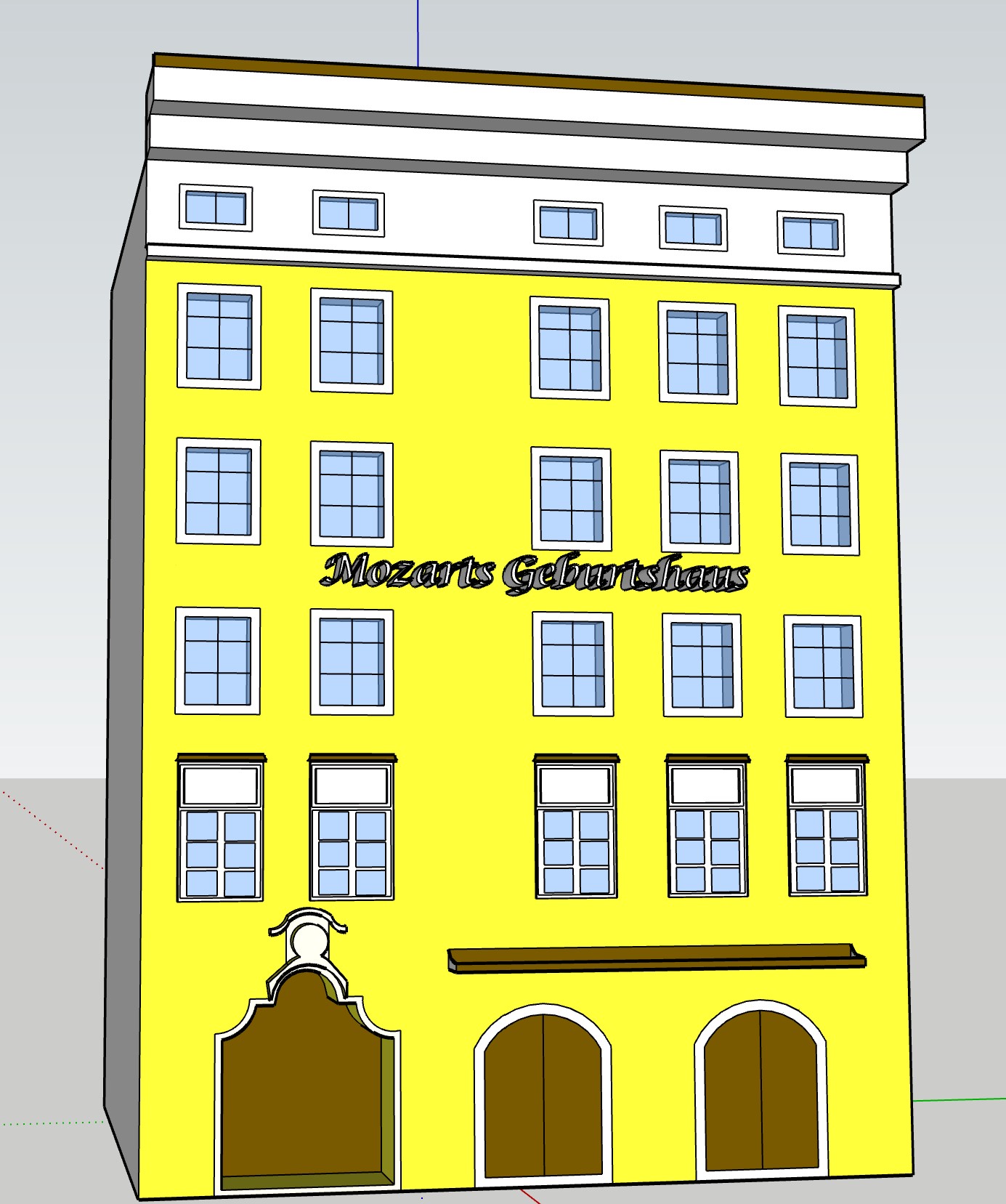
Firstly is one of the most popular Austrian tourist attractions found in the heart of Salzburg Old town is the birthplace of Mozart, known locally as Mozart Geburtshaus. It is rendered here in 3D using Sketch-up.


Secondly is a cross-section of the Gallatein Mountain Range part of the Rocky Mountains located in Montana, USA. This was created in QGIS and rendered using Microsoft 3D viewer.

- Building created in: SketchUp Pro
- Terrain created in: QGIS using DEMto3D
- Source DEM: Open Topography
- Terrain visualization: Microsoft 3D viewer


